High-resolution characterization of intertidal areas and lowest astronomical tidal surface by use of Sentinel-2 multispectral imagery and hydrodynamic modeling: Case-study in Cadiz Bay (Spain)
Identificadores
URI: http://hdl.handle.net/10498/37944
DOI: 10.1016/J.SCITOTENV.2022.160620
ISSN: 0048-9697
Statistics
Metrics and citations
Export





Metadata
Show full item record
Date
2023Source
Science of the Total Environment, Vol. 861, 2023Abstract
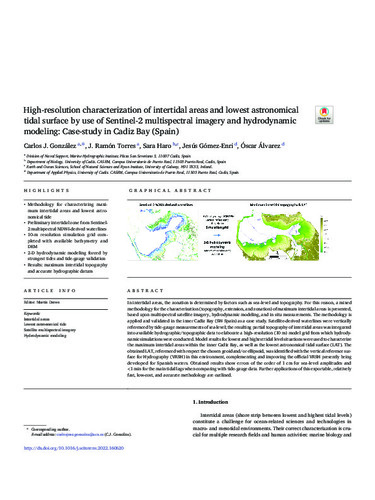
In intertidal areas, the zonation is determined by factors such as sea-level and topography. For this reason, a mixed methodology for the characterization (topography, extension, and zonation) of maximum intertidal areas is presented, based upon multispectral satellite imagery, hydrodynamic modeling, and in situ measurements. The methodology is applied and validated in the inner Cadiz Bay (SW Spain) as a case study. Satellite-derived waterlines were vertically referenced by tide-gauge measurements of sea-level; the resulting partial topography of intertidal areas was integrated
into available hydrographic/topographic data to elaborate a high-resolution (10 m) model grid from which hydrodynamic simulations were conducted. Model results for lowest and highest tidal level situationswere used to characterize the maximum intertidal areas within the inner Cadiz Bay, as well as the lowest astronomical tidal surface (LAT). The obtained LAT, referenced with respect the chosen geoid and/or ellipsoid,was identified with the vertical reference surface for Hydrography (VRSH) in this environment, complementing and improving the official VRSH presently being developed for Spanish waters. Obtained results show errors of the order of 1 cm for sea-level amplitudes and <1min for the main tidal lags when comparing with tide-gauge data. Further applications of this exportable, relatively
fast, low-cost, and accurate methodology are outlined.
Collections
- Artículos Científicos [11777]
- Articulos Científicos Biología [857]
- Articulos Científicos Fis. Ap. [311]
- Artículos Científicos INMAR [1027]