• español
    • English
  • Login
  • español 
    • español
    • English

UniversidaddeCádiz

Área de Biblioteca, Archivo y Publicaciones
Comunidades y colecciones
Ver ítem 
  •   RODIN Principal
  • Producción Científica
  • Artículos Científicos
  • Ver ítem
  •   RODIN Principal
  • Producción Científica
  • Artículos Científicos
  • Ver ítem
JavaScript is disabled for your browser. Some features of this site may not work without it.

Improving the Local Geoid with GPS
Thumbnail
Identificadores

URI: http://hdl.handle.net/10498/20949

ISSN: 0355-1962

Ficheros
1996_2_FGI_local geoid_articulo+Indice.pdf (441.2Kb)
Estadísticas
Ver estadísticas
Compartir
Exportar a
Exportar a MendeleyRefworksEndNoteBibTexRIS
Metadatos
Mostrar el registro completo del ítem
Autor/es
Berrocoso Domínguez, ManuelAutoridad UCA; Martín Davila, José; Fernández Ros, AlbertoAutoridad UCA; Moreu Munaiz, Guillermo; Jigena Antelo, BismarckAutoridad UCA; Garate Pasquín, Jorge
Fecha
1996-08-30
Departamento/s
Ciencias y Técnicas de la Navegación, Máquinas y Motores Térmicos y Teoría de la Señal...
Fuente
Reports of the Finnish Geodetic Institute, Vol 96:2, pp 91-96
Resumen
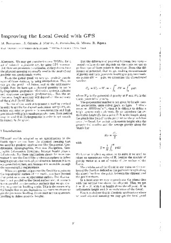
We may get coordinates over WGS84, for a set of points in a geodetic net, by using GPS receivers. But these are geometric coordinates, so they do not have the physical meaning we usually need in the most of our geodetic and geodynamic works. From the global geoid we may get geodetic coordinates of those stations, by using interpolation. Then we can get the geoid undulation, and so the orthometric height. Now we have got a physical quantity to use in hydrographics, geographic information systems, airborne and ship borne navigators, geodynamics,... But the orthometric height accuracy will depend on the accuracy of the global Geoid Model. The aim of this work is to present a working method in order to get the local geoid undulation, using GPS, absolute and relative gravimetric measurements and high precision levelling in a small geographic area. Such method may be usefull in Hydrographics in order to get sounds in respect to the geoid.
Materias
Geoid; GPS
Colecciones
  • Artículos Científicos [11777]
  • Articulos Científicos CC. Tec. Nav. [95]
  • Artículos Científicos INMAR [1027]
Attribution-NonCommercial-NoDerivatives 4.0 Internacional
Esta obra está bajo una Licencia Creative Commons Attribution-NonCommercial-NoDerivatives 4.0 Internacional

Listar

Todo RODINComunidades y ColeccionesPor fecha de publicaciónAutoresTítulosMateriasEsta colecciónPor fecha de publicaciónAutoresTítulosMaterias

Mi cuenta

AccederRegistro

Estadísticas

Ver Estadísticas de uso

Información adicional

Acerca de...Deposita en RODINPolíticasNormativasDerechos de autorEnlaces de interésEstadísticasNovedadesPreguntas frecuentes

RODIN está accesible a través de

OpenAIREOAIsterRecolectaHispanaEuropeanaBaseDARTOATDGoogle Académico

Enlaces de interés

Sherpa/RomeoDulcineaROAROpenDOARCreative CommonsORCID

RODIN está gestionado por el Área de Biblioteca, Archivo y Publicaciones de la Universidad de Cádiz

ContactoSugerenciasAtención al Usuario

