Análisis diacrónico de la ganadería medieval y la ganadería de lidia actual: efectos en la estructura territorial de la provincia de Cádiz (España)
Statistics
Metrics and citations
Export





Metadata
Show full item recordAlternative title
Diachronic analysis of medieval livestock and present-day bullfighting livestock: effects on territorial structure in Cádiz province (Spain)

Date
2023Source
Revista de estudios andaluces - 2023, n. 46, pp. 212-232Abstract
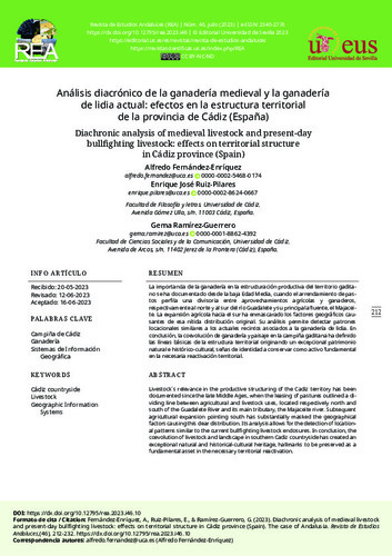
La importancia de la ganadería en la estructuración productiva del territorio gaditano se ha documentado desde la baja Edad Media, cuando el arrendamiento de pastos perfila una divisoria entre aprovechamientos agrícolas y ganaderos, respectivamente al norte y al sur del río Guadalete y su principal afluente, el Majaceite. La expansión agrícola hacia el sur ha enmascarado los factores geográficos causantes de esa nítida distribución original. Su análisis permite detectar patrones locacionales similares a los actuales recintos asociados a la ganadería de lidia. En conclusión, la coevolución de ganadería y paisaje en la campiña gaditana ha definido las líneas básicas de la estructura territorial originando un excepcional patrimonio natural e histórico-cultural, señas de identidad a conservar como activo fundamental en la necesaria reactivación territorial. Livestock´s relevance in the productive structuring of the Cadiz territory has been documented since the late Middle Ages, when the leasing of pastures outlined a dividing line between agricultural and livestock uses, located respectively north and south of the Guadalete River and its main tributary, the Majaceite river. Subsequent agricultural expansion pointing south has substantially masked the geographical factors causing this clear distribution. Its analysis allows for the detection of locational patterns similar to the current bullfighting livestock enclosures. In conclusion, the coevolution of livestock and landscape in southern Cadiz countryside has created an exceptional natural and historical-cultural heritage, hallmarks to be preserved as a fundamental asset in the necessary territorial reactivation.
Collections

This work is under a Creative Commons License Attribution-NonCommercial-NoDerivatives 4.0 Internacional